
E57, RCP or LAS? Choosing a Point-Cloud Format for Your Project
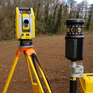
When you commission a 3D laser scan, one of the first questions is which format the point cloud should be delivered in. Getting this right at the start saves conversion time later and avoids your design team receiving files they cannot open. TruGrid Surveys supplies registered point clouds in E57, RCP and LAS across Cornwall, Devon and the wider South West.
E57
E57 is an open, vendor-neutral standard (ASTM E2807) for 3D imaging data. It can hold point positions, intensity, colour and the scanner positions, and it is read by almost all point-cloud and BIM software, including Autodesk ReCap, Trimble RealWorks, Leica Cyclone, Bentley and CloudCompare.
Choose E57 when the design team uses mixed software, when the data needs to be archived for the long term, or when you are not yet sure who will be working with it.
RCP and RCS
RCP is the Autodesk ReCap project format, used by Revit, AutoCAD, Civil 3D and Navisworks. An RCP file is a project that references a set of RCS scan files, so the full folder must be supplied and kept together. Sending the RCP on its own is a common reason for a point cloud appearing empty.
Choose RCP when the architect or engineer works mainly in Autodesk products and wants to attach the cloud directly into Revit or AutoCAD.
LAS and LAZ
LAS is the ASPRS standard for lidar data and LAZ is its compressed version. They are widely used in GIS, terrain modelling and aerial survey workflows. For building and structural work, E57 or RCP is usually the better choice.
What to check before issue
Coordinate system: OS National Grid and Ordnance Datum Newlyn, or a local site grid
Whether colour and intensity are needed
Full resolution or a decimated version for faster viewing
Whether the cloud should be split by floor, area or elevation
Software version, particularly for older Revit releases
Delivery method: point clouds are often several gigabytes, so we issue them by secure download link
Point clouds and drawings together
A point cloud is most useful when it sits alongside drawings. We normally issue the registered cloud with layered DWG and PDF floor plans, elevations and sections extracted from the same data, so dimensions can always be checked back to the scan.
Need point-cloud data in Cornwall or Devon?
Tell us which software your team uses and we will confirm the right format in the quotation. Read about our 3D laser scanning service or contact us for a fixed quote, usually within one working day.
Comments